Ask me about available “slum” mapping methods and datasets in your city, and how accurate they likely are.
Design: Outline methods tailored to your team and context to integrate existing data, and potentially collect new data, to identify deprived areas.
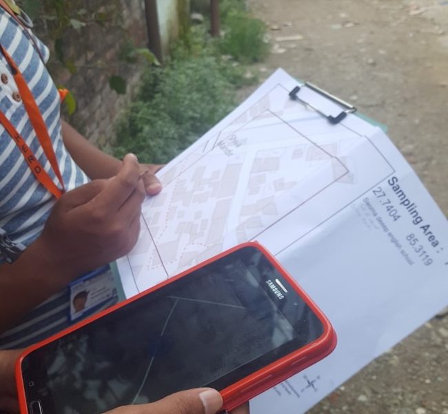
Implementation: Lead or support new data collection, for example, identifying and field-verifying model training data, or manually digitising informal settlements over satellite imagery.
Analysis: Compile Earth Observation and spatial datasets, perform GIS and/or geo-statistical modelling, and/or work with data scientists to map deprived areas in your city.
Training: For project managers, analysts (GIS and geo-statistical), and/or field data collectors.